At the time of writing, this hut is only open during winter months, from December 1 to April 30 to protect the fragile, ever-shrinking Grizzly habitat. This hut resides in one of the largest remaining uninterrupted zones for grizzlies in North America.
Stats
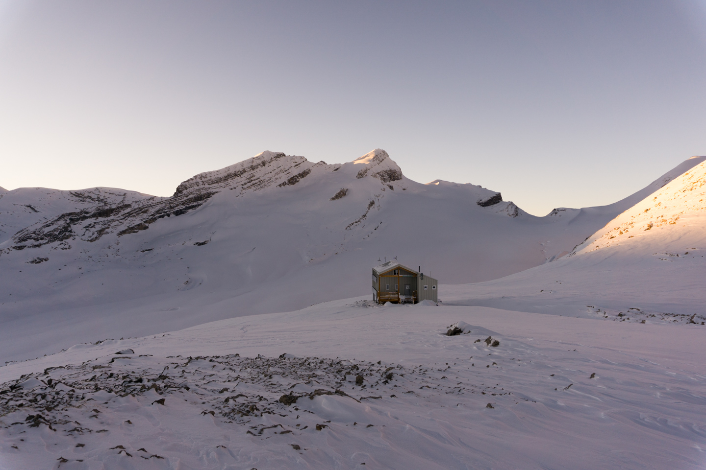
If you want to experience glamping, this is the hut for you. Gas heat, solar/wind-powered LED lighting, it’s even rumored to have an internet connection (although it’s not accessible by hut patrons, so we might as well pretend it doesn’t exist). A solid 17 km from the nearest highway through some of Canada’s most rugged terrain, it generally requires it’s residents approach from the Bow, Peyto or Stanley-Mitchell Huts, Bow being the most common and shortest approach. Known as the Bow-Yoho traverse, the name reflects the most efficient direction – downhill from Bow Lake, AB (1920m) to Field, BC (1250m).
| Bow Hut Altitude: | 2,350 m (7,710 ft) | Trail Length: | 11.68 km |
| Guy Hut Altitude: | 2,575 m (8,448 ft) | Difficulty: | Class 3 |
| Net Altitude: | 225 m (738 ft) | Map: | 82N10 (Blaeberry) |
| Time to Hut: | 6-9 hours |
Trailhead
This hut is a destination from Bow Hut, the most convenient starting point. Alternately, it can be reached from Peyto Hut, and less often from Stanley-Mitchell Hut.
The Trail
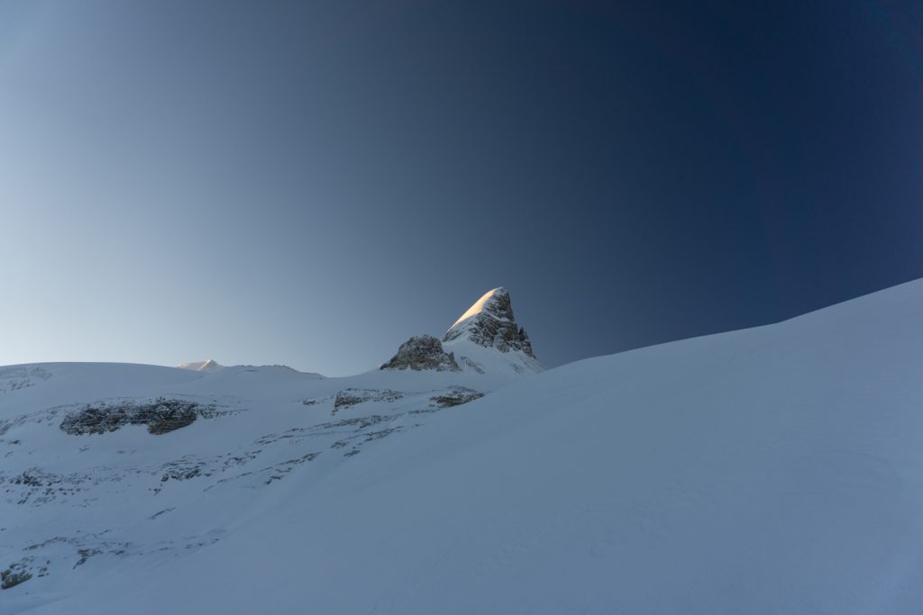
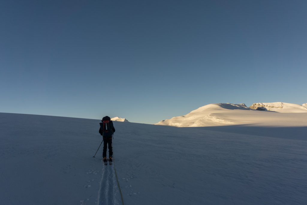
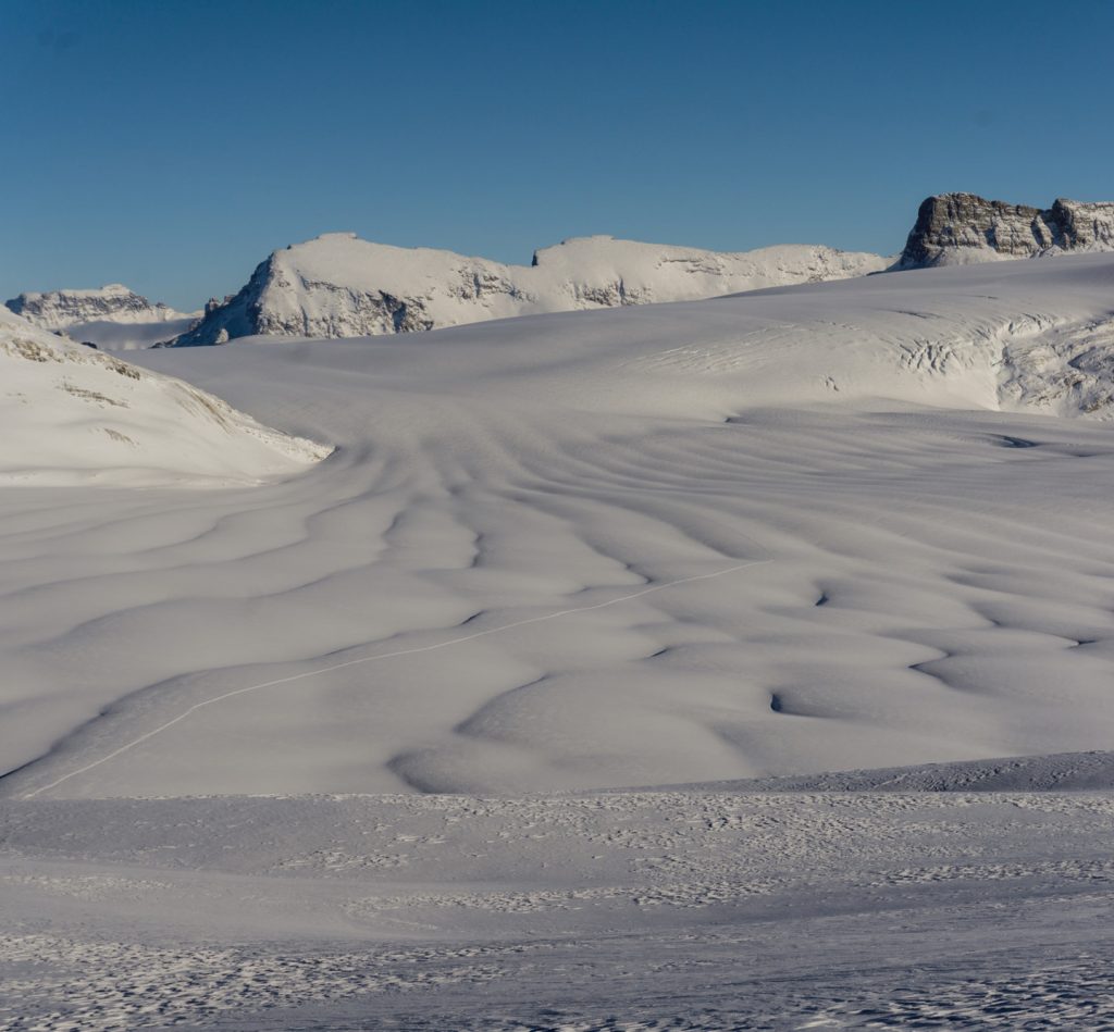
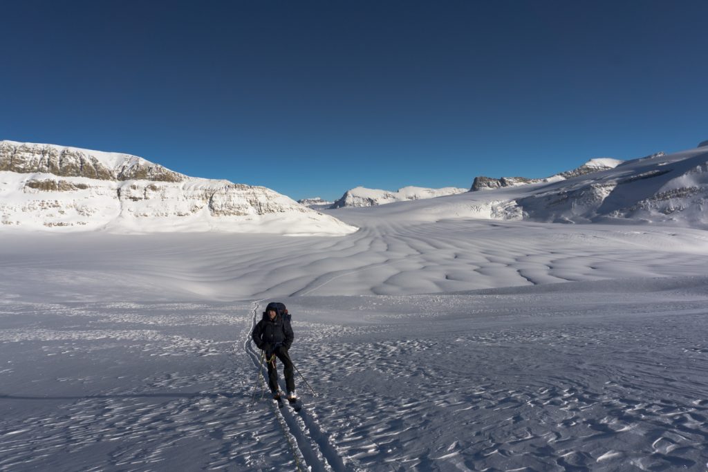
Bow Hut Approach – From the hut, follow the bench upon which Bow Hut sits, up under Mount Nicholas heading west to the toe of the glacier. Find your way up the glacier as you see fit (skirting to the right provides safe passage when snow depth may put bridges at risk). Once you pass a small hump on your right (the Onion) where the rock breaks away to the north, continue straight west using the pass between Mount Gordon and Mount Rhonda as your guide. Soon you will see the summit of Mount Collie peeking over the horizon as you wend your way across.
Peyto Hut Approach – From the hut, head south, down onto the glacier. Rise to the left of Rhonda, aiming for the Gordon-Rhonda col.
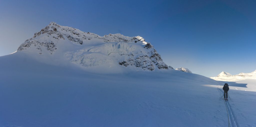
As you near the Gordon-Rhonda col, keep a mental note that there is a pretty notable crevasse field to your left on the downward slopes of Mount Gordon. As the basin of the Wapta opens up below you – between Mount Collie and the upper Wapta on which you currently stand – you will see a serac field under Collie, and if visibility is good, you can map out your route around the seracs to gain the West Yoho Glacier. The ideal place to gain the West Yoho is a ramp to the right of the serac field. If visibility is bad, contouring to your right, behind Rhonda and around the upper part of the basin, is probably the safest way to approach the ramp. Alternately, there is a route up the left side of the seracs that looks pretty straightforward. With bluebird days we picked a path to the middle-right, skirting the seracs and gaining the ramp half way up. Keep an eye out and a bit of distance for possible icefall from Collie on your right.
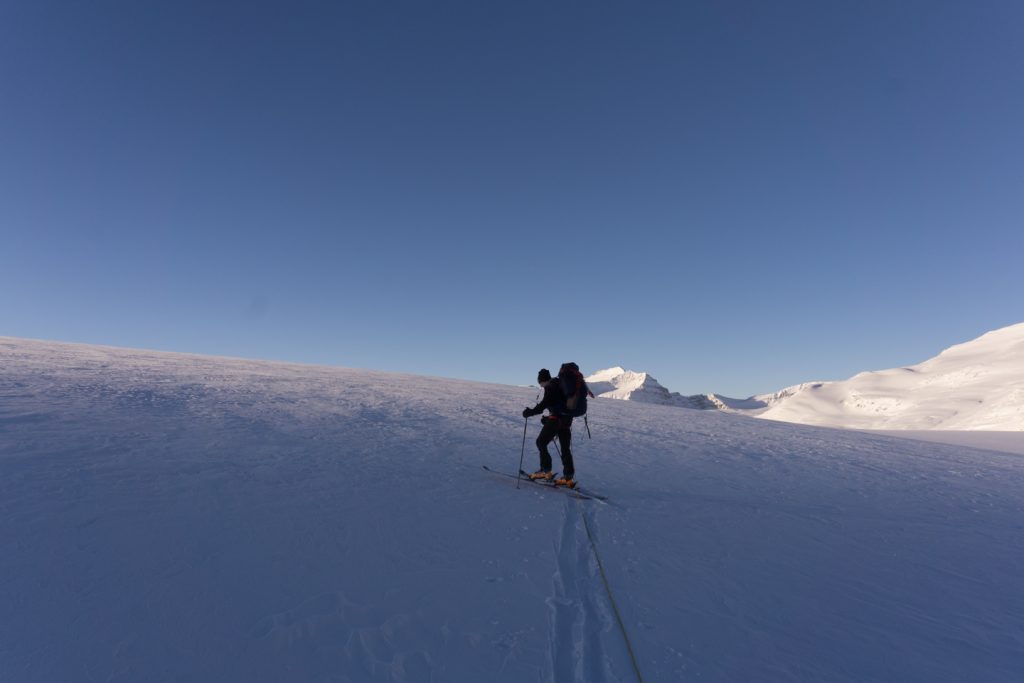
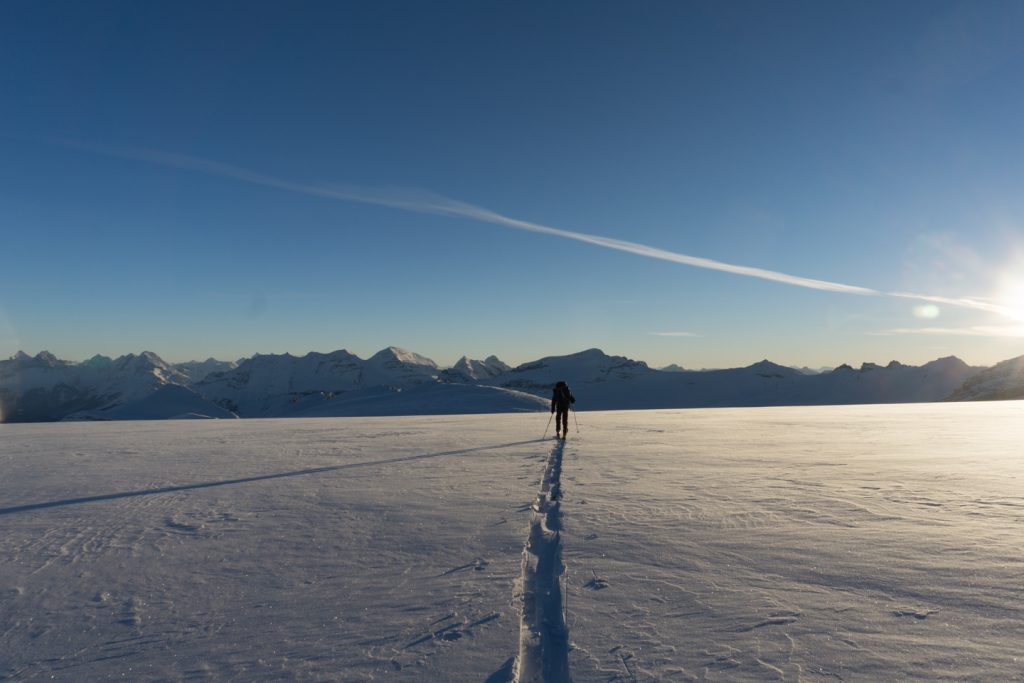
Once you are above the seracs, stay right of the knob above-left of the serac field, aiming for the low spot in the crest to the west. As you climb the West Yoho Glacier, keep a little left of center. When you level out, you have 2 choices depending on avi risk:
- Head west to the rocky shoulder of Collie and handrail this side of it down to the hut. This is the best low-visibility route in my opinion.
- Aiming just right of Yoho Peak, ski the open slopes of West Yoho Glacier. Note that this option has some pretty ripe aspects, so you’d better have fresh batteries in your beacon and a few buddies that are fast with their shovels depending on snow conditions.
Whichever route you take, you want to make sure not to overshoot the hut. It sits nice and cozy, right on the low spot below the Mount Collie shoulder and Yoho Peak. You now have 3 options to approach the hut:
- Over the hill approach – This is by far the shortest, easiest route. Part way down the Collie shoulder, you’ll see a rocky notch where the rock bands fade and snow takes over. After the notch, climb the ridge to the top, keeping clear of the right edge (potential cornices and sheer cliffs). As you run out the shoulder, it will widen and drop down to the hut.
- Intersect the gully approach – This is a middle of the road approach. As you handrail (almost uncomfortably high) on the shoulder to the col, you’ll find yourself on the rocky ridge above a gully. You know you are in the right place if you can see the hut across on the other side. Descend 5-10 meters down to a bench which runs below you up to your right, to the top of the gully. Whatever you do, don’t get sucked into thinking the other side of the gully looks passable. We made this mistake and spent more time than we are willing to admit, only to find it too steep to climb. Suffice it to say, the top of the gully is the easiest approach by far. Once you are at the top of the gully, ski left to the hut, about 50m. There is a high chance of ending up here if visibility is bad.
- Ride the gully approach – Probably the most straightforward approach, but the one requiring the most effort. Whether you handrail down Collie shoulder or come down the face of West Yoho, you want to be on the right side of the West Yoho Glacier. As you approach the col, you will see a pronounced gully leading up to the west. You can follow the bottom (a bit of a terrain trap) or ascend a bench that starts part way up on your right. Once you are at the top of the gully, ski left to the hut, about 50m.
What to do once you arrive
- Skiing – Lots of skiing. You could spend a lifetime here and not ride the same line twice.
- Yoho Peak – An easy, straightforward, round trip that can be done in a few hours.
- Mount Collie – A challenging and at times technical ridge walk.
- Too many others to list…
Where to stay
- Bow Hut – a 7-9 hour ski across the West Yoho Glacier and Wapta Icefield
- Peyto Hut – a 6-8 hour ski across the West Yoho Glacier, Wapta Icefield and Peyto Glacier
- Stanley-Mitchel Hut – a 6-8 hour hike/ski from Louise and Richard Guy Hut
For the exit description to the highway directly from Guy Hut, get in touch with me. It’s a slog, but doable. Alternately, there may be an exit on the north side of Yoho Peak, but I’ve never explored it at length. I expect there are many risks, including glacier travel and potential cliffs making it impassible.
Bow, Peyto, and Stanley-Mitchell huts must all be booked through the Alpine Club of Canada‘s website or by calling their Canmore Office.
Refer to Parks Canada’s rules if you are considering the possibility of an overnight bivvy in the backcountry. There are no designated campgrounds once you are in the alpine, and camping may be restricted because of the delicate Grizzly bear habitat throughout the Parks.
Routes
Download the route from Bow Hut to Guy Hut in Winter – Didn’t record…Doh!
Download the route from Peyto Hut to Guy Hut in Winter – GPX
What you need to know
Parks Canada requires:
- an entry pass that can be purchased at the entry gate.
- a back-country permit (or annual wilderness pass).
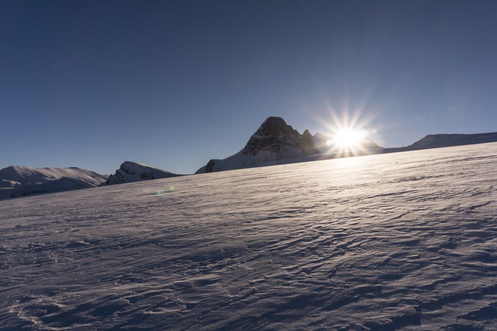
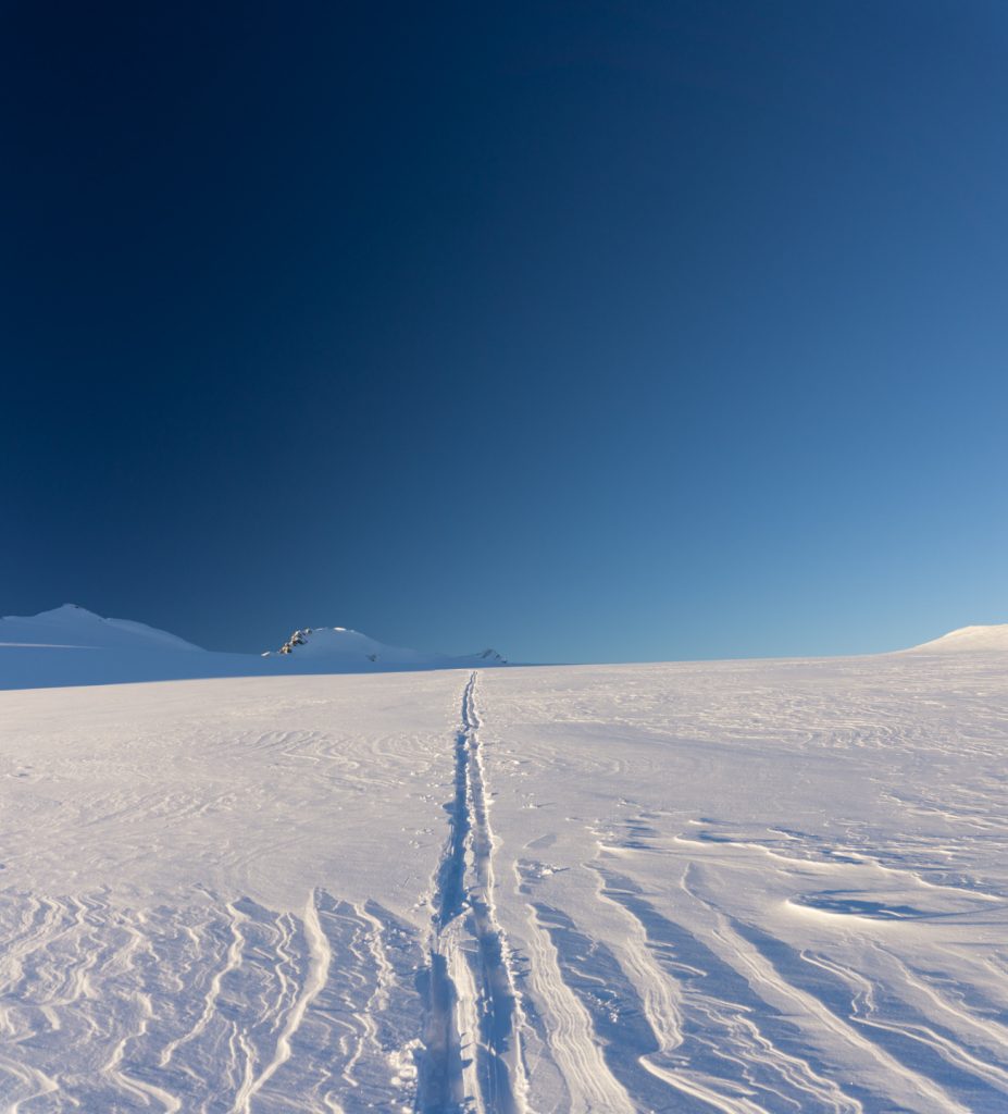
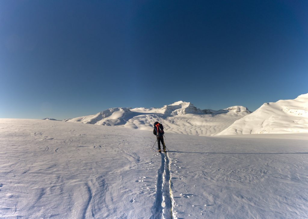
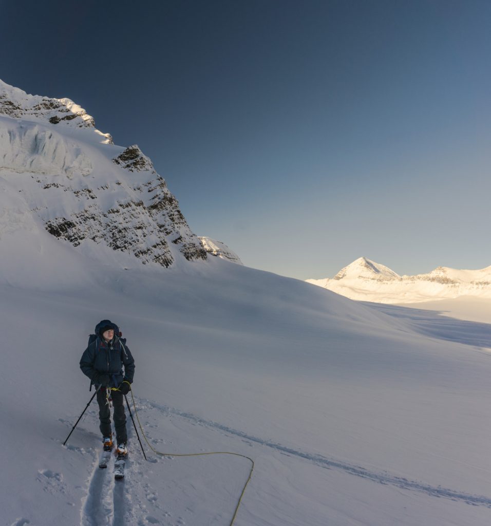
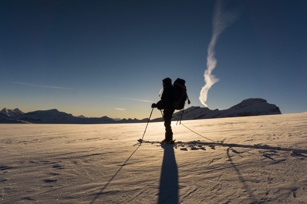
Pictures

Comments 3
Pingback: Bow Hut | GotMountains
Author
100%. But, after doing it a few times a fast group could make the distance from Bow/Peyto to Stanley Mitchell in a long day. I was blown away at how short the trip was from Guy to Stanley Mitchel.
Pingback: Stanley Mitchell Hut | GotMountains