When I think if old school mountain homesteads, Stanley Mitchell Hut would be on the poster. Nestled on the edge of a mountain meadow, this picturesque hut is a classic in the books of many. Mostly a summer hut, the winter approach is complicated by 11km of closed road making it a 20+ km uphill slog. In summer, parking at the Takkakaw Falls makes this a short, 6 km jaunt with a few good shots of elevation gain. In winter, you’ll have to park just off the highway and ski in on a road that usually has a half decent track set.
Stats (Guy Hut to Stanley Mitchell)
| Guy Hut Altitude: | 2,580 m (8,464 ft) | Trail Length: | 8.5 km |
| Stanley Mitchell Hut Altitude: | 2,050 m (6,725 ft) | Difficulty: | Class 3 |
| Net Altitude: | -487 m (-1,597 ft) | Map: | 82N10 (Blaeberry) |
| Time to Hut: | 3-4 hours |
Stats (Winter – TransCanada Highway to Stanley Mitchell)
| Trailhead Altitude: | 1,270 m (4,166 ft) | Trail Length: | 23.1 km |
| Stanley Mitchell Hut Altitude: | 2,050 m (6,725 ft) | Difficulty: | Class 2 |
| Net Altitude: | 780 m (2560 ft) | Map: | 82N10 (Blaeberry) |
| Time to Hut: | 7-12 hours |
Stats (Summer – Takkakaw Falls Parking Area to Stanley Mitchell)
| Trailhead Altitude: | 1,520 m (4,986 ft) | Trail Length: | 8.7 km |
| Stanley Mitchell Hut Altitude: | 2,050 m (6,725 ft) | Difficulty: | Class 2 |
| Net Altitude: | 530 m (1,739 ft) | Map: | 82N10 (Blaeberry) |
| Time to Hut: | 3-4 hours |
Trailhead
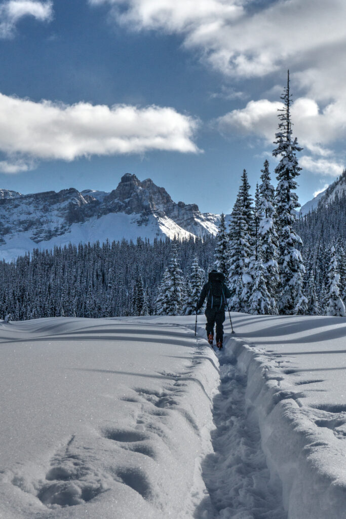
In summer, the most convenient starting point to the hut begins at the Takkakaw Falls Parking Lot and is an easy 8km hike. In winter, the road to the Takkakaw falls parking lot is not maintained, so one must ski from the Monarch Campground Parking Lot just off the Trans Canada Highway near Field, BC for a distance of approx. 23 km. The more adventurous approach is from the Louise and Richard Guy Hut as part of the Bow-Yoho Traverse.
The Trail
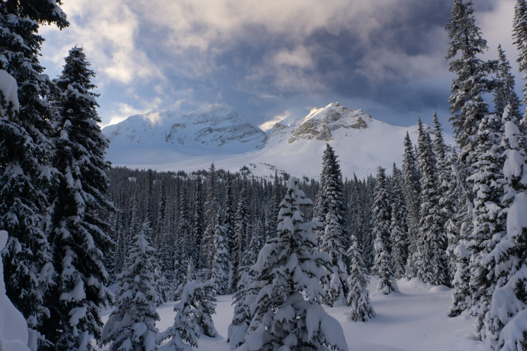
Summer Approach – From the Takkakaw Falls Parking Lot, follow the well signed trail up the Yoho Valley along an old fire road. Soon, you will turn west as you follow signs to the Little Yoho Valley Campground where you begin to gain altitude. You’ll follow the Little Yoho River drainage west until you approach the hut, which is located under Isolated Peak near the warden’s cabin right on the main trail.
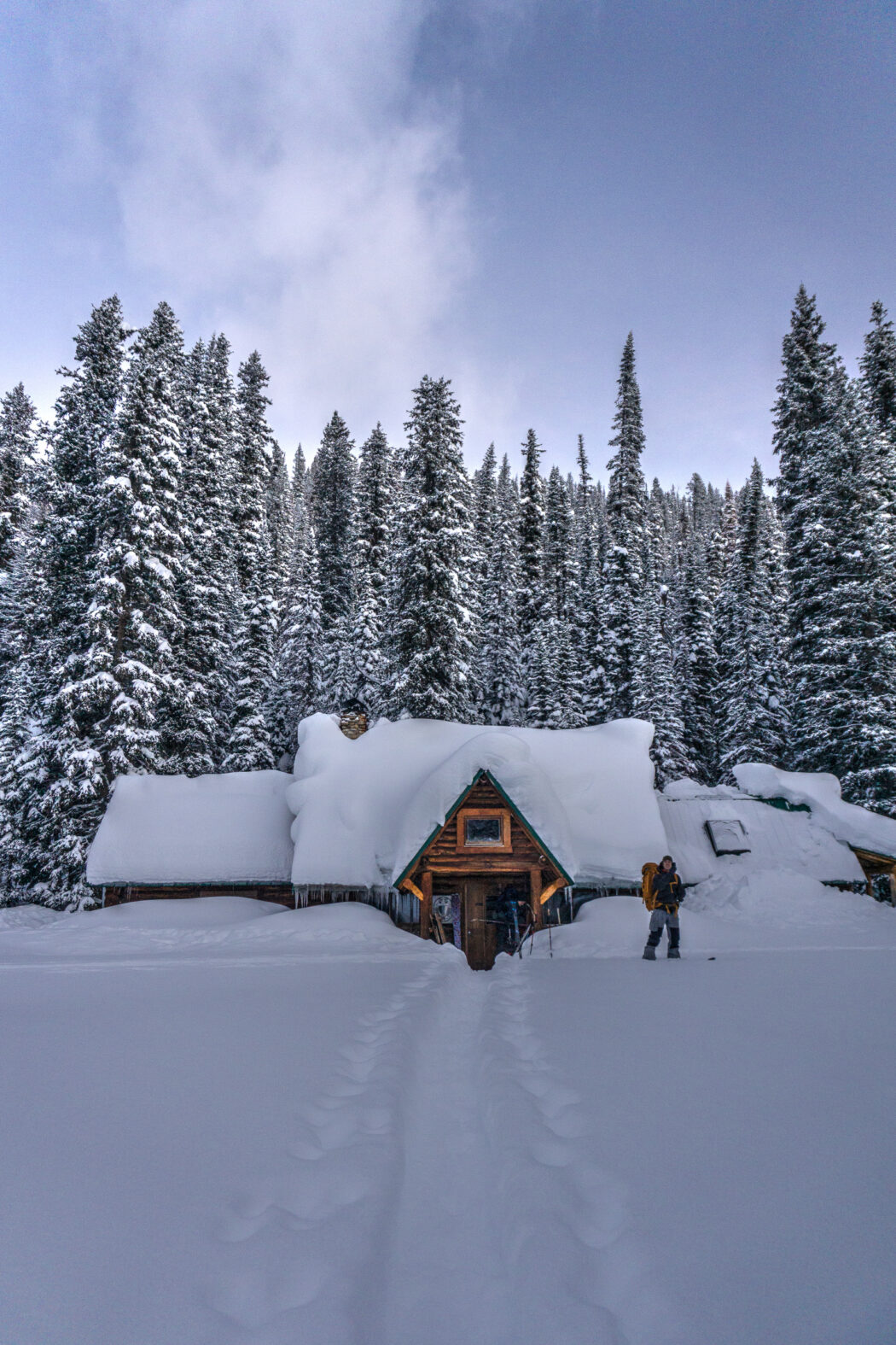
Winter Approach – This is a daunting 23km adventure gaining 800m in elevation. Many plan a bivvy at the Takkakaw falls parking area shelter (approx. 14km from highway), which has a crude wood stove, but likely no wood. If you find some, be sparing in how much you use, as many use it as an emergency shelter when something goes wrong and they can’t reach the highway. Travel is generally easy along the summer road, and continues to be easy as you continue past the parking/camping areas near Takkakaw falls. As you near the Little Yoho Valley, the trail becomes less clear and route finding will be more and more difficult. There are a few benches that make travel easy, so if you find yourself against cliffy bands, you’re either too far or too close to to the Little Yoho River. Once you’ve leveled out into the Little Yoho Valley, the trail follows an old cut line that is much easier to follow. Continue along until you trip on the front step of the Stanley Mitchell Hut.
What to do once you arrive
The Louise and Richard Guy Hut – a link in the chain on the Bow-Yoho Traverse, beginning with the Bow or Peyto Huts.
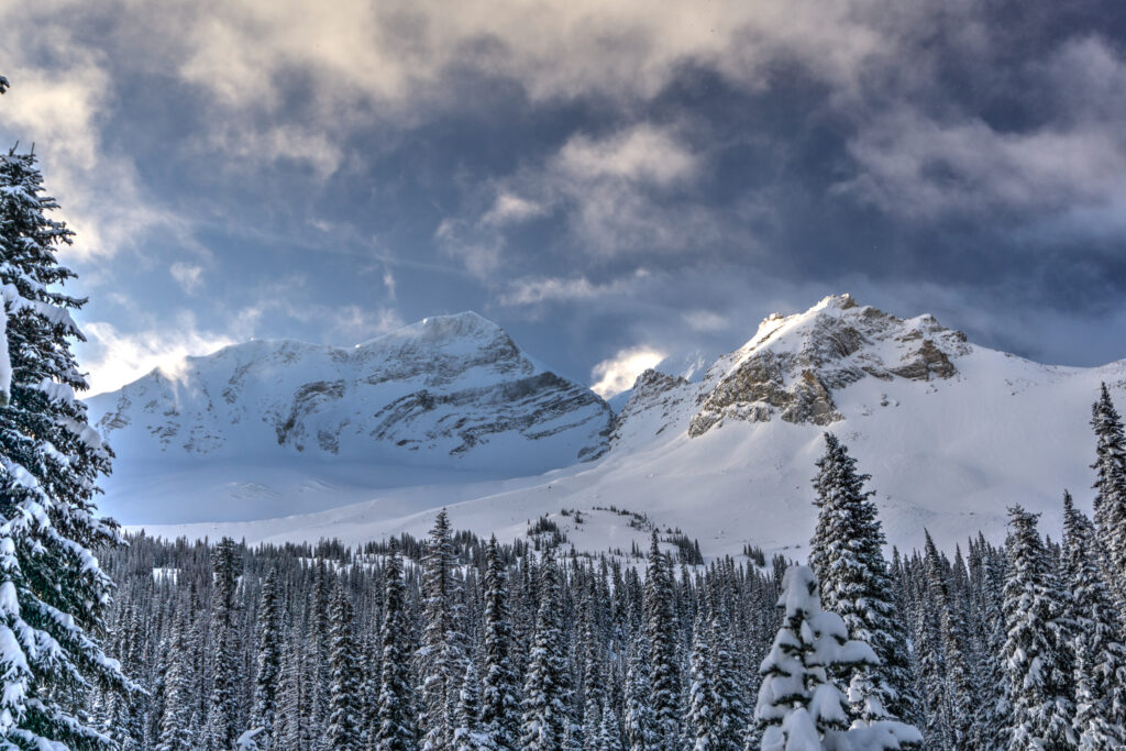
The President and Vice-President – Both are fun advanced climbs with aspects that give you breathtaking exposure. Knowledge of Glacier travel is a necessity as you have to cross a gaping bergschrund and rise a grade that is likely steeper than 45 degrees. Provides an amazing view of Emerald Lake.
Mount McArthur, Mount Kerr, Kiwetinok Peak are solid objectives with challenging routes. McArthur particularly has short exposure to a glacier near the summit.
Whaleback Mountain – A long epic ridgeline that is easily accessed from the Hut in summer. Excellent views of the Yoho Valley, Mont des Poilus, Yoho Peak, Trolltinder Mountain, and Mount Niles.
Iceline Trail – With similar views to Whaleback, this hike is less effort and usually includes snow even in the depth of summer.
Skiing – Lots of skiing. There are a lot of lines in all directions, but the terrain is extremely complex and can have very different risks from week to week.
Where to stay
Lake Louise Hostel and various Hotels – a 20 minute drive east to the Lake Louise townsite
Field, BC – a cute railroad town that remains to this day. There are various small hotels, AirBnB’s and Bed and Breakfasts.
Golden, BC – a 45 minute drive west from the trailhead with many hotels and other options.
Stanley-Mitchell hut must all be booked through the Alpine Club of Canada‘s website or by calling their Canmore Office.
Refer to Parks Canada’s rules if you are considering the possibility of an overnight bivi in the backcountry. There are no designated campgrounds once you are in the alpine, and camping may be restricted because of the delicate Grizzly bear habitat throughout the Parks.
Routes
Download the winter route from Guy Hut to Stanley Mitchell – GPX
Download the winter route from the TransCanada Highway to Stanley Mitchell – GPX
What you need to know
Parks Canada requires:
- an entry pass that can be purchased at the entry gate.
- a back-country permit (or annual wilderness pass).
Pictures

Comments 2
Pingback: Louise and Richard Guy Hut | GotMountains
Pingback: Bow Hut | GotMountains